
Sponsors: ♦ Wu Style Taichi (吳家太極拳) ♦
About us
HK intro
Easy Walk
River
Hiking
Coastine
Caving
Overseas
Gallery
Join us
Hiking tips
Other sites
Publicity
Contact us
Outdoor Doctor
FaceBook Group
Order FREE HK Travel Brochure!
Visitors
since April 2000
Tung Tze to Wong Leng (洞梓 至 黃嶺)
Difficulty:

Last Visit: 7 Nov 2010
NT North
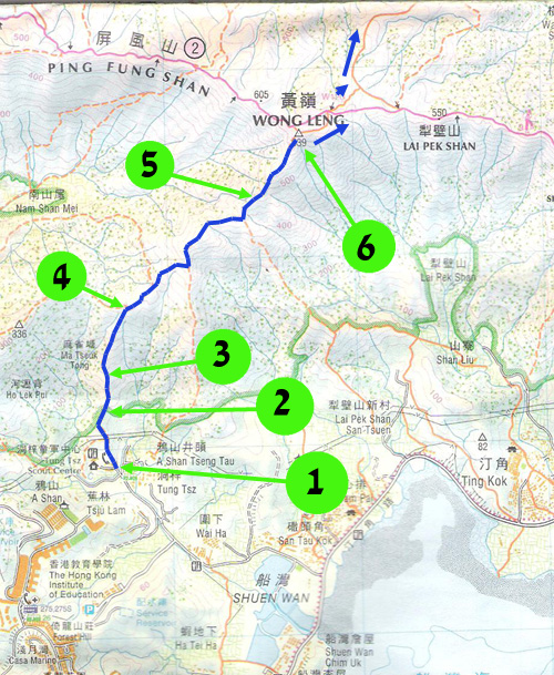
Trip DescriptionThis route is one of the ridges of the Pat Sin Leng (八仙嶺) mountain system. The start point is next to a mini bus terminus which is from TaiPo KCR station. The route comprises quite a lot of steep uphill hike. Although the footpath is narrow and bushy, it is quite clear. You will get exhausted easily but you won't get lost easily. Once you are up on the mountain ridge, all uphill hardship pays off. |
Location 1: Altitude 45M
|
Location 2: Altitude 105M
|
Location 3: Altitude 155M
|
Location 4: Altitude 285M
|
Location 5: Altitude 480M
|
Location 6: Altitude 639M
|
|
|


|
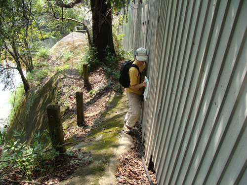 When we visited the route, the entrance was blocked by a construction site. We have to bypass it on the edge of a slope. This may be the most dangerous part of the our trip.
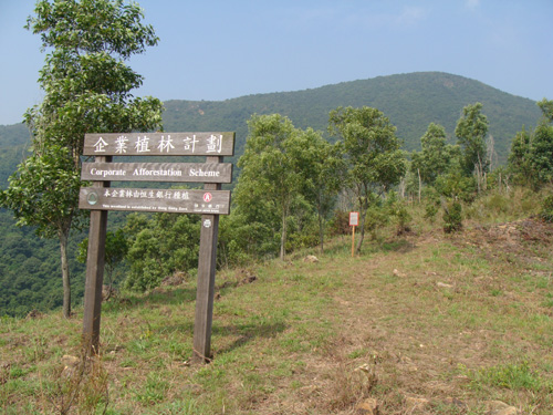 You will see the sign soon after you have overcome the construction site.
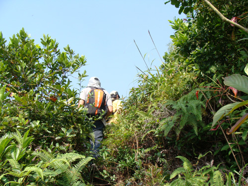 You see, the route is really bushy.
 It was quite hot.
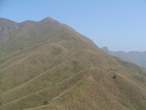 What a wonderful mountain view! Peaceful and respectful.
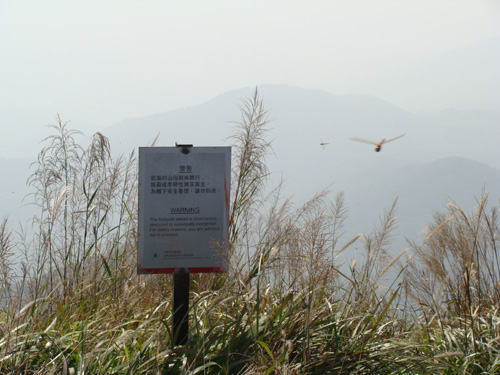 We have finally reached Wong Leng (黃嶺) peak.
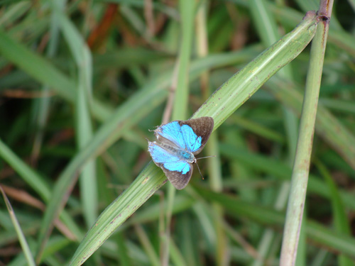 A beautiful butterfly.
 We then followed the main hiking route to go to Luk Keng (鹿頸) to enjoy tea time.