Trip Description
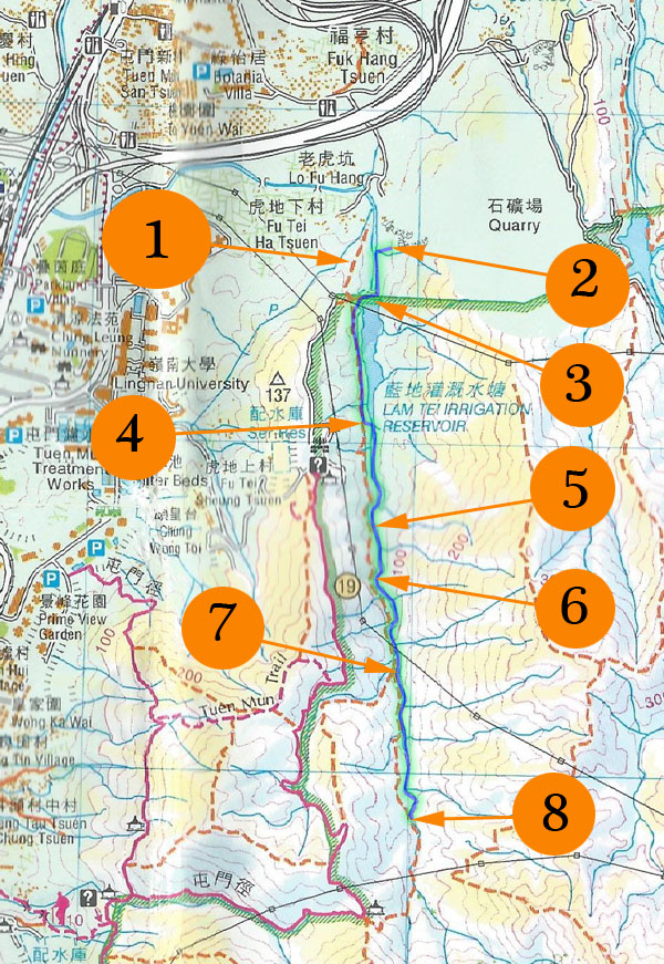
Tiger Stream is easily accessible, short and easy. It has a nice hiking path running parallel to it. You can get out almost any time you like. There are two sizable pools for a comfortable dip. The water is visually clean. The stream is in general quite wide, really for stream trekking beginners.
|
Location 1: Altitude 50M
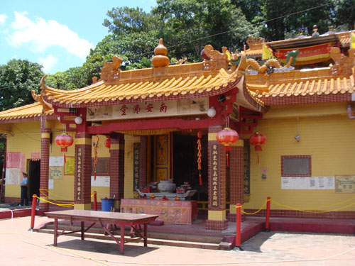 On the way to the stream, we found this temple (南安佛堂).
|
Location 2: Altitude 40M
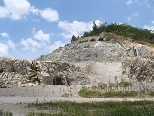
| This is a rock mine. We are getting close to the stream. |
 |
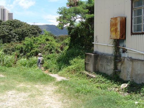
| There is a foot path leading you to Lam Tei Reservoir (藍地灌溉水塘) from the mine. You may find some graffiti showing the direction to the reservoir. |
 |
|
Location 3: Altitude 40M
 Very soon, we will arrive at the foot of a damn. We move up the damn on the left. This picture is Lam Tei Reservoir (藍地灌溉水塘).
|
Location 4: Altitude 60M
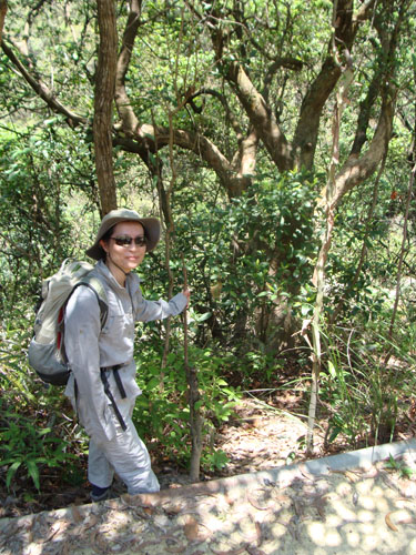
| You will find a faint path on the right side of the reservoir. That faith path may lead you to the reservoir only. Anyway, we decided to get to stream after reservoir. So, we kept following the main footpath. At about 60M, we spotted a right place to move down to the stream. |
 |
 |
Here we go. We got to the stream. |
|
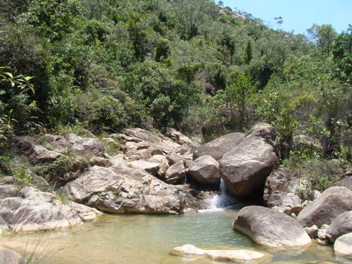
Location 5: Altitude 65M
 This is the first pool for cooling. There is good natural shelter on one side of the pool, good for setting up stove. Actually, the pool can be directly accessed from the parallel hiking path.
|
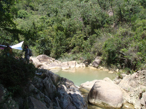
Location 6: Altitude 80M
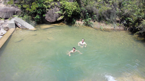
| This is probably the biggest pool in this stream. This pool is formed by the damn. The pool is called Walker Pool (行者池). |
 |
| This pool has a sandy bottom. This pool got a upper smaller pool with rocky kitchen tables which are ideal for preparing your lunch. |
 |
|
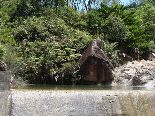
Location 7: Altitude 115M
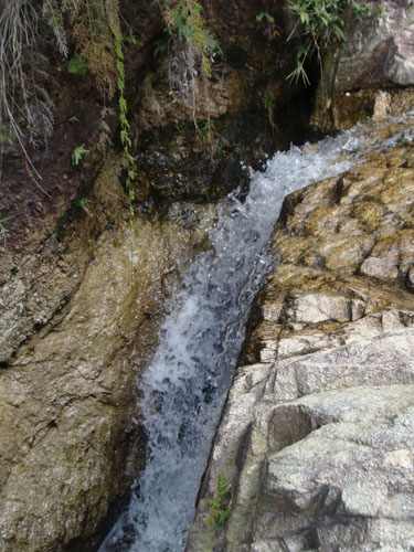 A vivid small water fall. At about 125M, the hiking path and the stream meet virtually. You can exit now, or you can keep tracking the stream until the junction.
Beyond this exit point, the stream get a little bit more demanding but still very managable.
|
Location 8: Altitude 650M
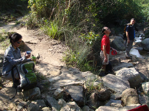 Here the stream and hiking path meet again, we exit here. We followed the hiking path going uphill. We went back to the down town via Tuen Mun Trail (屯門徑).
|


|