Home
About us
HK intro
Easy Walk
River
Hiking
Coastine
Caving
Overseas
Gallery
Join us
Hiking tips
Other sites
Publicity
Contact us
Outdoor Doctor
FaceBook Group
Order FREE HK Travel Brochure!

Visitors

since April 2000
|
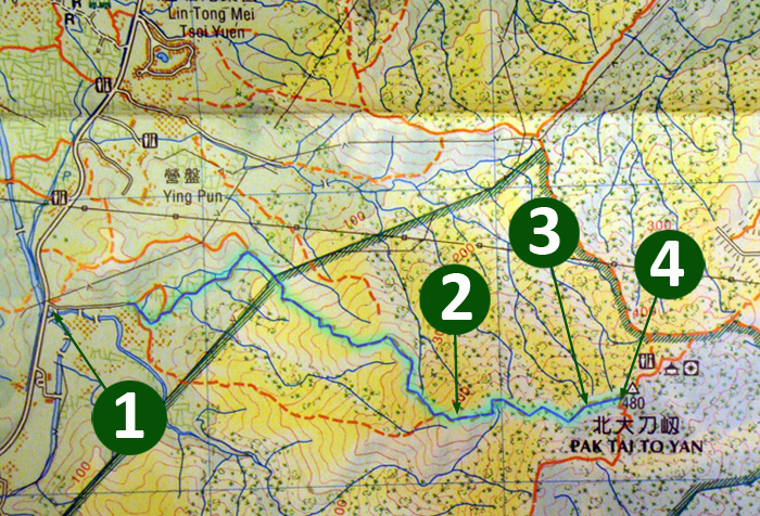
Ta She Wu Kiu Tao > Pak Tai To Yan(打石湖橋頭 至 北大刀刃)
Difficulty:

Last Visit:
22 Mar 2015
NT North
Trip Description
 This route is a very enjoyable leisure hike. The path wide and clear in general. The only issue is the starting point is rather confusing because of some undocumented routes for grave sweepers in the village. In the map above, there is a southern mountain ridge that also lead to the Pak Tai To Yan. It is however, the entrance of this southern ridge has apparently been blocked by some village construction. Anyway, the one we took this time was a good one.
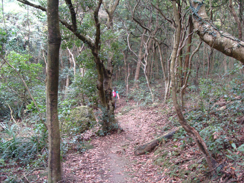
The path under 350M is very open. The path above 350M is running inside a forest and yet the path remains very clear all the way through.
|
Location 1: Altitude 30M
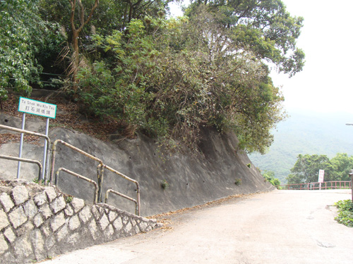 This is the start point. Right next to a bus stop, super convenient. There is a hiking path behind the road sign in the picture. That hiking path should eventually meet the route we went this time.
|
Location 2: Altitude 415M
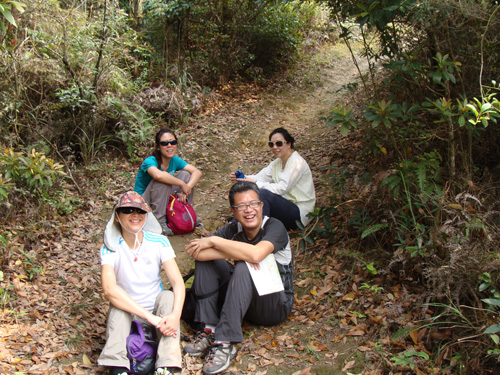 The route was too easy, everyone was laughing.
|
Location 3: Altitude 455M
| Trekking inside a placid forest. |
 |
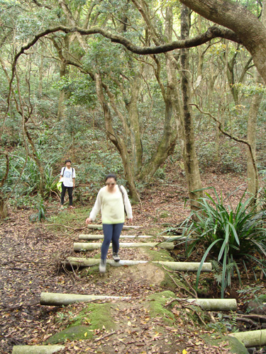
| This is quite a special mud bridge. Those horizontal rods are actually pipes. When water level is high one side, the pipes can drain the water to the other side. I think the original mud bridge was much thicker, it wore out over time and exposed the pipes. |
 |
|
Location 4: Altitude 500M
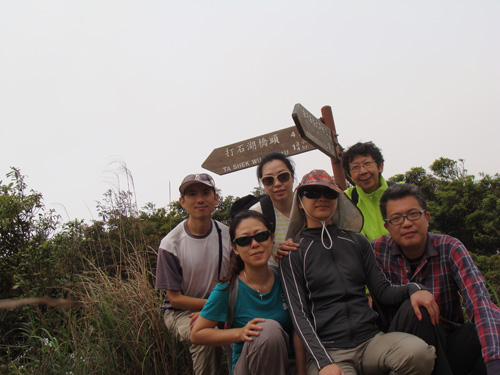 We eventually reached Pak Tai To Yan(北大刀刃)which is the highest point of this trip. Pak Tai To Yan is a very popular hiking route, you can take either north or south to go back to down town.
|


|
|
