
Sponsors: ♦ Wu Style Taichi (吳家太極拳) ♦
About us
HK intro
Easy Walk
River
Hiking
Coastine
Caving
Overseas
Gallery
Join us
Hiking tips
Other sites
Publicity
Contact us
Outdoor Doctor
FaceBook Group
Order FREE HK Travel Brochure!
Visitors
since April 2000
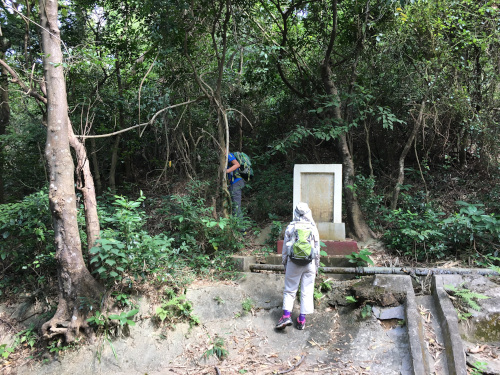
Sham Shek Shi Ridge (深石脊)
Difficulty:

Last Visit: 21st Oct 2018
Lantau
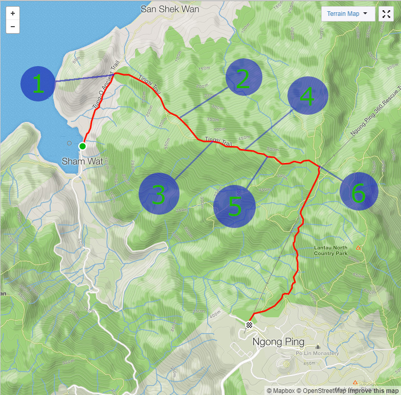
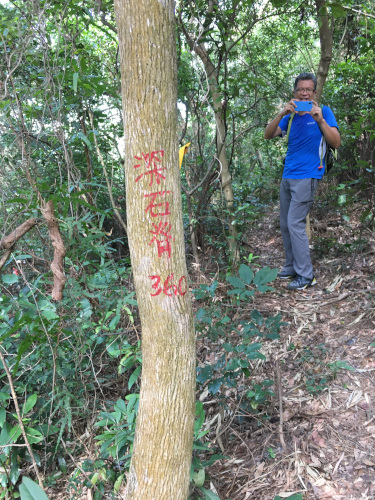
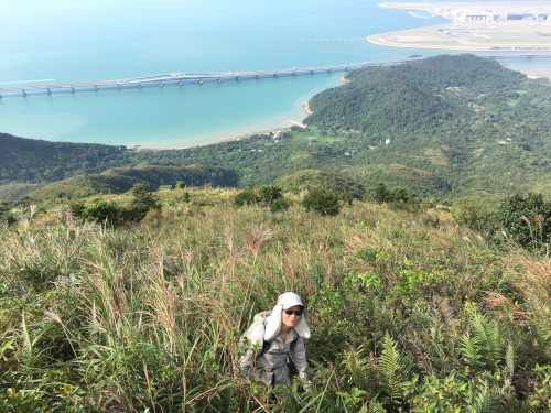
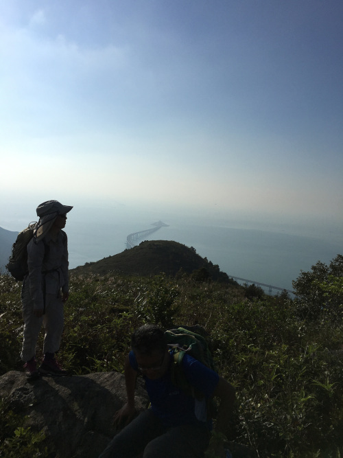
Trip DescriptionThis route is quite easy to locate although it is a bit far from any bus station. There are not a lot of guidling ribbons, but they are sufficient. The trail is running over the mountain ridge which is expected to be relatively free of thick bushes. However, this route is actually covered by bushes and trees below 450M. Luckily, the path is still quite visible, even though it is confusing sometimes. After all, it is a fun route. | ||
Location 1: Altitude 65M
| ||
Location 2: Altitude 329M
| ||
Location 3: Altitude 446M
| ||
Location 4: Altitude 502M
| ||
Location 5: Altitude 528M
| ||
Location 6: Altitude 555MWe joined the Ngong Ping 360 Rescue Trail here which brought us back to public transport. | ||


|
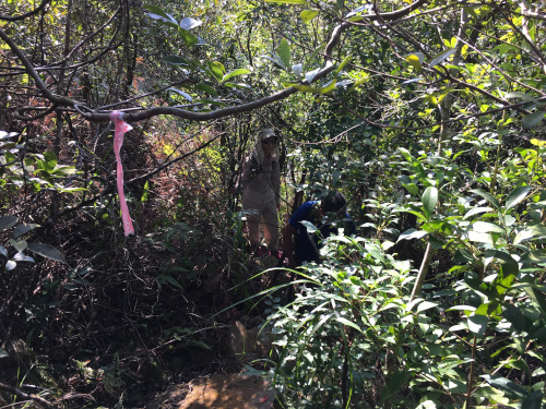
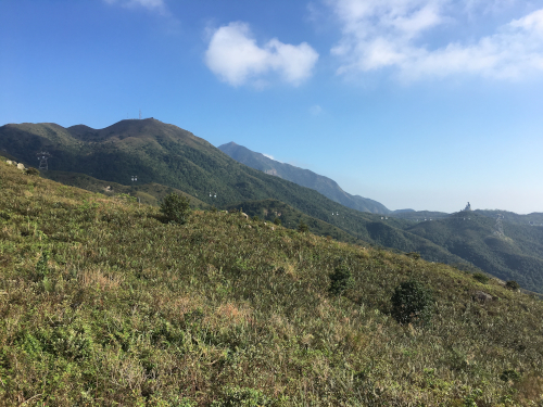 We could see the cable cars and the big Buddha.