Trip Description
|
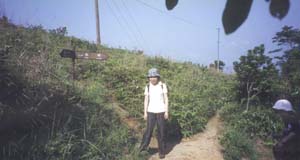
Location 1: Altitude 315M
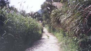 You can take a taxi to reach the Ma On Shan Tsuen or the Information center of the Fishery and Agricultures Dept (near Hang On Estate 恆安). Take any paths to walk up the hill, and you will find some old sign showing the direction up to Ma On Shan Country Park . Rocky road replaces the concrete path at around 315m You can take a taxi to reach the Ma On Shan Tsuen or the Information center of the Fishery and Agricultures Dept (near Hang On Estate 恆安). Take any paths to walk up the hill, and you will find some old sign showing the direction up to Ma On Shan Country Park . Rocky road replaces the concrete path at around 315m
|
Location 2: Altitude 320M
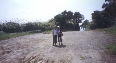 You will find a very large ground suddenly at 320m You will find a very large ground suddenly at 320m
|
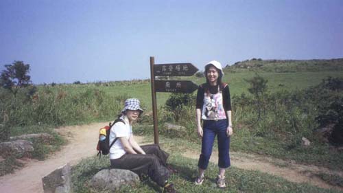
Location 3: Altitude 415M
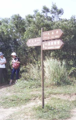 You will find a sign post pointing toward two directions: Kei Ling Ha 企嶺下 and Tai Shui Tseng 大水井 (2.2km) / Gilwell camp 基維爾營(7km). Noticed that you are frim Hang On estate. Go along the direction of Tai Shui Tseng (where you are along the MacLehose trail) You will find a sign post pointing toward two directions: Kei Ling Ha 企嶺下 and Tai Shui Tseng 大水井 (2.2km) / Gilwell camp 基維爾營(7km). Noticed that you are frim Hang On estate. Go along the direction of Tai Shui Tseng (where you are along the MacLehose trail)
|
Location 4: Altitude 410M
 Campsite near Ngong Ping on the right side and on the left side is the Pyramid Hill 大金鐘 Campsite near Ngong Ping on the right side and on the left side is the Pyramid Hill 大金鐘
|
Location 5: Altitude 410M
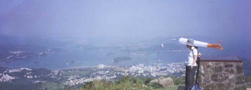 There is a view compass on the left side where you can see a nice view of Sai Kung. You can always find someone playing parachute near this point. It is windy there. You will soon reach a crossroad where you can find an information board and a shelter. You have to choose to go along the MacLehose Trail to the Gilwell Camp, or to Tai Shui Tseng and Pak Kong Au There is a view compass on the left side where you can see a nice view of Sai Kung. You can always find someone playing parachute near this point. It is windy there. You will soon reach a crossroad where you can find an information board and a shelter. You have to choose to go along the MacLehose Trail to the Gilwell Camp, or to Tai Shui Tseng and Pak Kong Au
|
Location 6: Altitude 290M
 While going down the hill, another post sign showing the direction to Pak Kong and Mau Ping 茅坪 . Go down to the Pak Kong path, and when you reach the concrete path, turn left to go out to the main road. While going down the hill, another post sign showing the direction to Pak Kong and Mau Ping 茅坪 . Go down to the Pak Kong path, and when you reach the concrete path, turn left to go out to the main road.
|


|