
Sponsors: ♦ Wu Style Taichi (吳家太極拳) ♦
About us
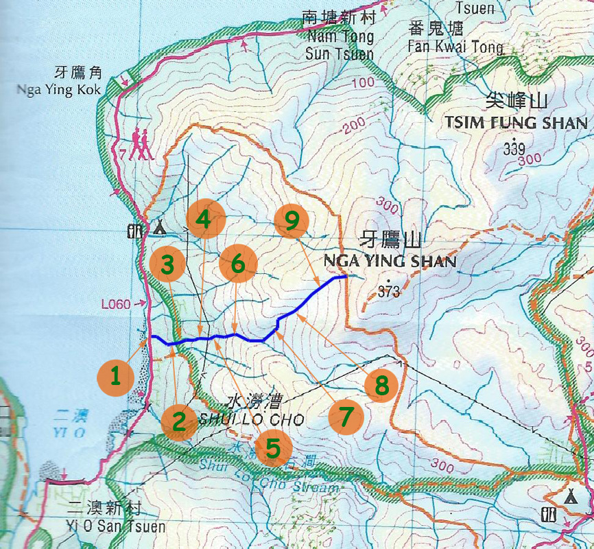
HK intro
Easy Walk
River
Hiking
Coastine
Caving
Overseas
Gallery
Join us
Hiking tips
Other sites
Publicity
Contact us
Outdoor Doctor
FaceBook Group
Order FREE HK Travel Brochure!
Visitors
since April 2000
Nga Ying West Stream (牙鷹西坑)
Difficulty:

Last Visit: 19 Jun 2016
Lantau
Trip Description
Nga Ying West Stream locates on the west of Nga Ying Shan in Lantau Island. It used to be a very narrow creek but it was widened by a major landslide in year 2008. After so many years, most lose rocks settled. You can still find the traces of landslides nowadays. As you move along, you still have to beware of loose rocks.
This stream is seldom visited by hikers. There is NO ribbon nor markings along the route. You really have to figure out how out to navigate by your skills and experience. There is some waterfalls and small pools along the way. Water is clean with some algae.
|
Location 1: Altitude 0M
|
Location 2: Altitude 20M
|
Location 3: Altitude 30M
|
Location 4: Altitude 50M
|
Location 5: Altitude 65M
|
Location 6: Altitude 115M
|
Location 7: Altitude 175M
|
Location 8: Altitude 215M
|
Location 9: Altitude 270M
|


|
 This is the entrance. We moved down to the stream on the left side of the fence.
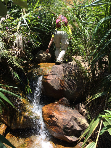 The lower stream,or the first 20M~30M is infested with overgrown and spider webs. This session is not too enjoyable.
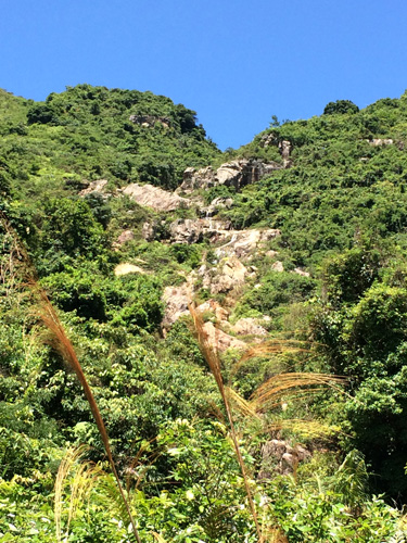 The stream widens and clears up. Movement is no longer hindered overgrown.
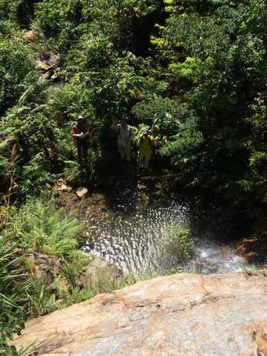 Looking down from a cliff. We took the slope on the right of the cliff to scale up.
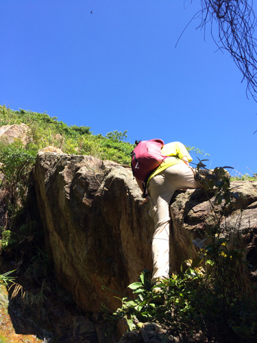 There are some demanding climb in this stream.
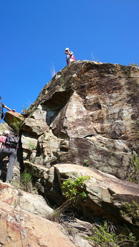 This is another interesting climb.
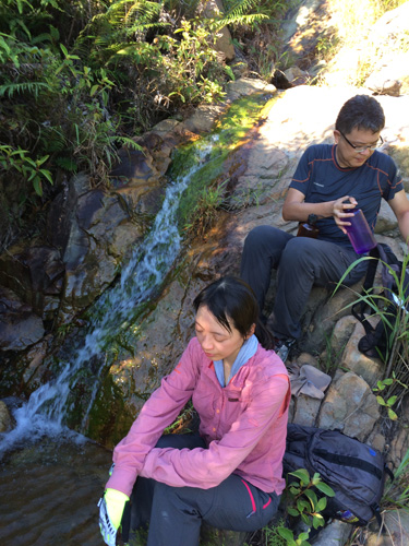 After some vigorous climbing, let's have a break under the shade.
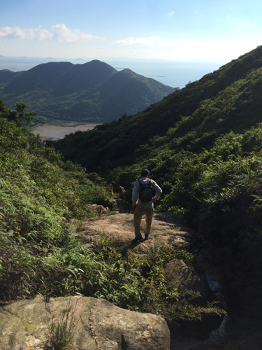 The beach in the far is Yi O beach. We are now in the upper stream, we can no longer see water flowing.
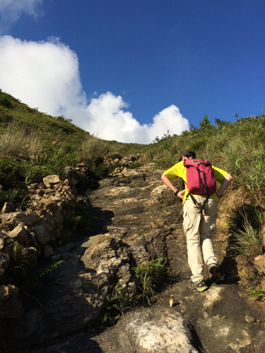 Keep walking up! The stream will meet the main hiking path very soon.