
Sponsors: ♦ Wu Style Taichi (吳家太極拳) ♦
About us
HK intro
Easy Walk
River
Hiking
Coastine
Caving
Overseas
Gallery
Join us
Hiking tips
Other sites
Publicity
Contact us
Outdoor Doctor
FaceBook Group
Order FREE HK Travel Brochure!
Visitors
since April 2000
JinLong Ridge(滅龍脊,金龍脊,錦龍脊)
Difficulty:

Last Visit: 11 Jan 2015
NT North
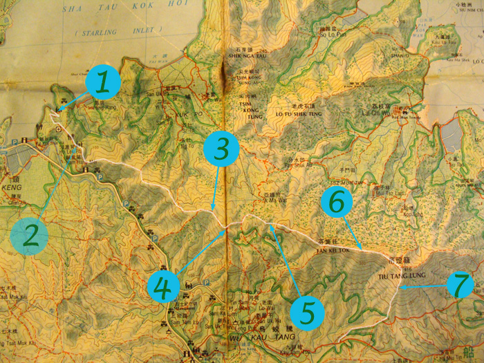
Trip DescriptionThis route gets a couples of name in Chinese (滅龍脊,金龍脊,錦龍脊). This route mainly lies on the ridge from Kuk Keng (鹿頸) to Sam A Chung (三椏涌). It covers the famous Tiu Tang Lung (吊燈籠) hill. The path is clear and very manageable. Guiding ribbons are available all the way through. Plants may get a little bit bushy somewhere between Location 4 and Location 5. Other than that it is an enjoyable leisure hike. | ||||||
Location 1: Altitude 15M
| ||||||
Location 2: Altitude 95M
| ||||||
Location 3: Altitude 270M
| ||||||
Location 4: Altitude 300M
| ||||||
Location 5: Altitude 275M
| ||||||
Location 6: Altitude 380M
| ||||||
Location 7: Altitude 310M
| ||||||


|
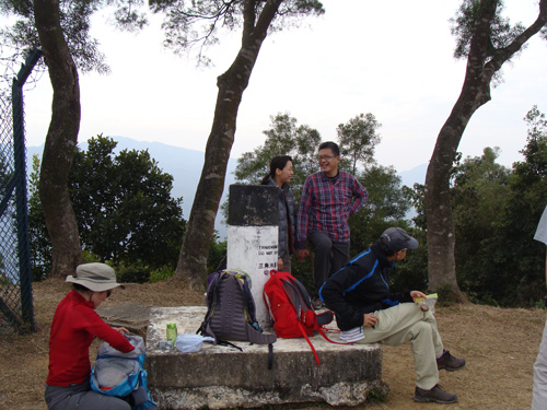
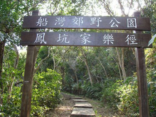 This is the starting point. The route shares with Family-Walk in the beginning.
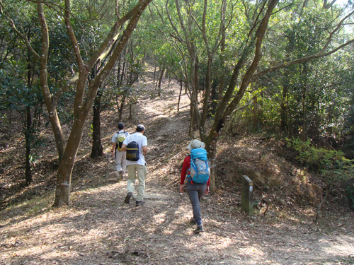 Our journey separates from the Family-Walk here. Go straight up.
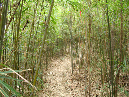 A placid bamboo forest.
 We are moving towards a valley. In wet seasons, this valley can be very slippery. You will find a muddy pond in the trough of the valley.
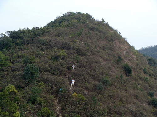 Moving towards Tiu Tang Lung.
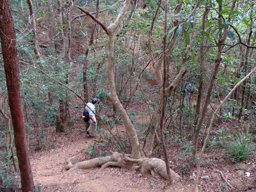
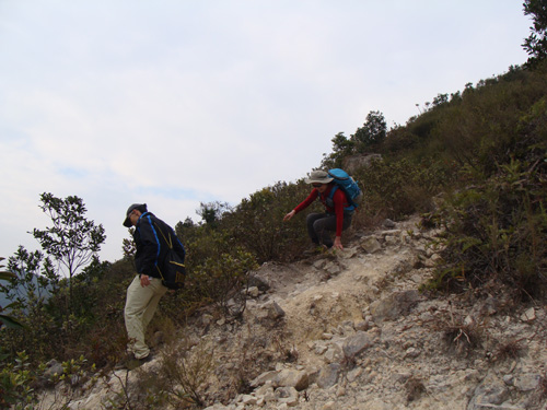 Moving down hill from Tiu Tang Lung to Wu Kau Teng (烏蛟騰). The slope is quite steep and rocky. Have fun.