
Sponsors: ♦ Wu Style Taichi (吳家太極拳) ♦
About us
HK intro
Easy Walk
River
Hiking
Coastine
Caving
Overseas
Gallery
Join us
Hiking tips
Other sites
Publicity
Contact us
Outdoor Doctor
FaceBook Group
Order FREE HK Travel Brochure!
Visitors
since April 2000
Lin Ma Hang Cave( 蓮麻坑 礦洞)
Difficulty:

Last Visit: 2 Jun 2013
NT North
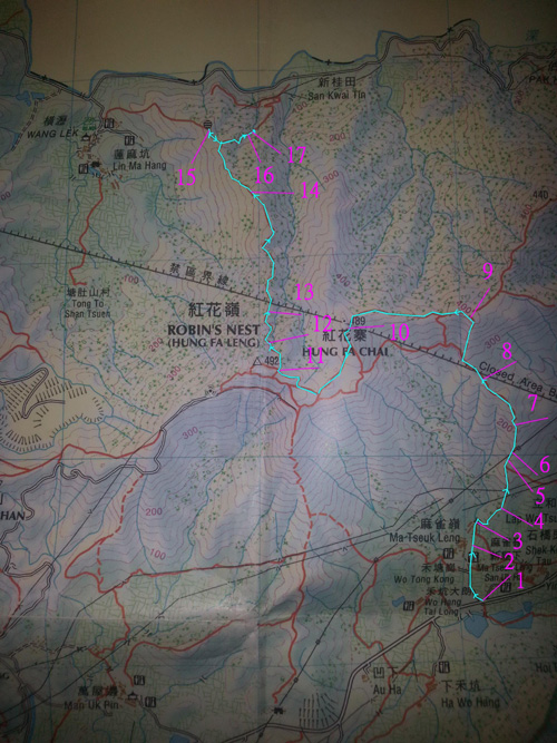
Trip Description
Although the very hot weather challenges our physical strength, effort we spent is worthy of because it is only this kind of weather that can bring us such a clear blue sky and green hilly view. The path is at the first part when we are going up to Robin Nest is well exposed and especially good to have such views. Just after short while when we cross over the top of Robin Nest, we get a special feeling of visiting a new area as it is previously closed and just open about 1 year before. Navigating inside the mine cave, which is completely dark at the path end is also interesting. All headlamps and torches we brought on the day are fully used. | ||||||||||||
Location 1: Altitude 10M
| ||||||||||||
Location 2: Altitude 15M
| ||||||||||||
Location 3: Altitude 20M
| ||||||||||||
Location 4: Altitude 65M
| ||||||||||||
Location 5: Altitude 140M
| ||||||||||||
Location 6: Altitude 160M
| ||||||||||||
Location 7: Altitude 220M
| ||||||||||||
Location 8: Altitude 285M
| ||||||||||||
Location 9: Altitude 400M
| ||||||||||||
Location 10: Altitude 470M
| ||||||||||||
Location 11: Altitude 455M
| ||||||||||||
Location 12: Altitude 435M
| ||||||||||||
Location 13: Altitude 390M
| ||||||||||||
Location 14: Altitude 300M
| ||||||||||||
Location 15: Altitude 210M
| ||||||||||||
Location 16: Altitude 190M
| ||||||||||||
Location 17: Altitude 180M
|
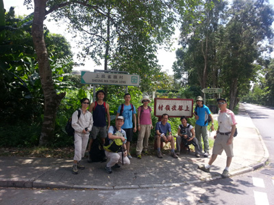 The clear village road entering Sheung Ma Tseuk Tsuen is the entrance. We can see a lot of indicating signs here.
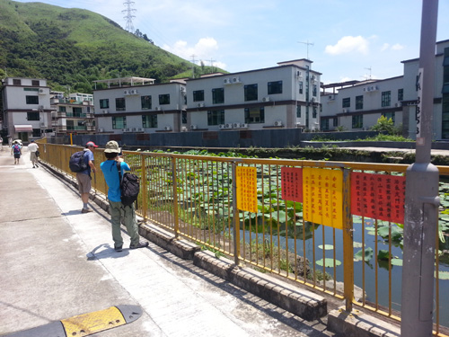 A lotus pond inside the village.
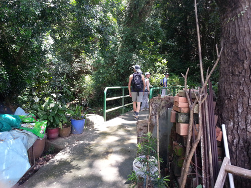 When we enter the village, we can see a path on the left. Do not enter such path, go straight ahead and we will pass through some village house on the left, at the end, when you see the crossing bridge as in this photo, cross it and you will enter the correct path.
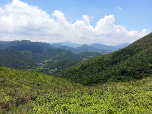
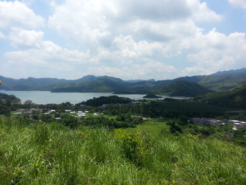 Let’s enjoy good hilly and sea views when going up.
 Approaching the power tower.
 Viewing sideway upwards.
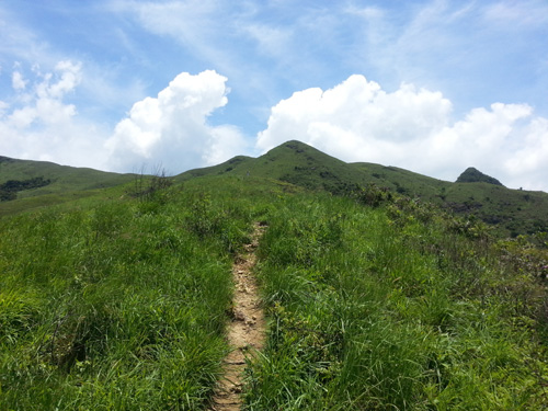 Viewing upwards.
 Viewing downwards.
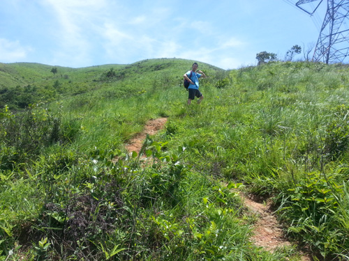
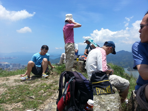 We are having a rest after climbing up a short steep slope.
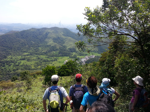
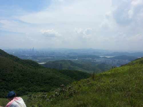 Viewing Shenzhen near the top of Hung Fa Chai.
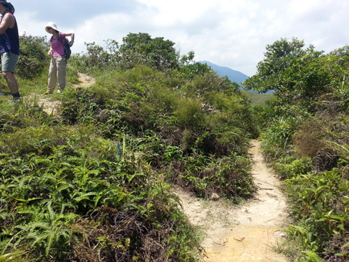 Path Junction, the right path is going downwards Lin Ma Hang cave.
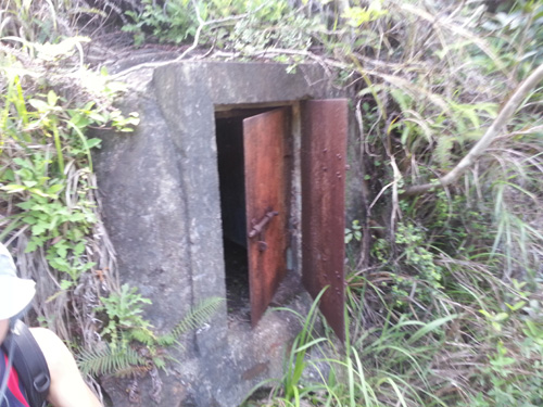
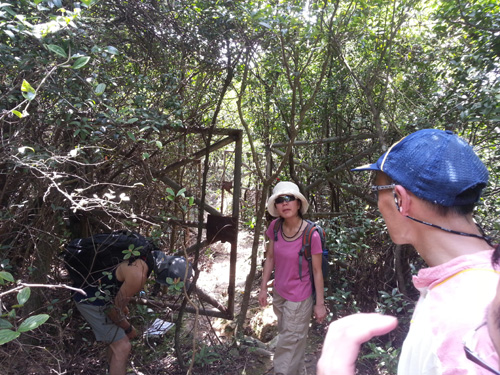 Old double gate.
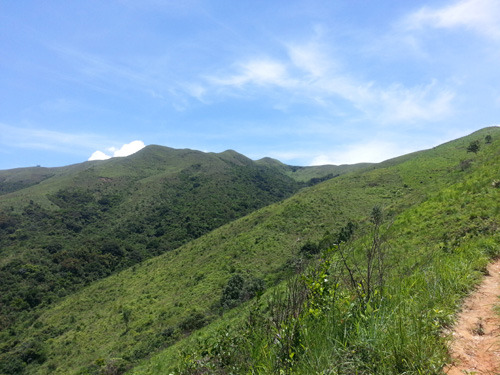
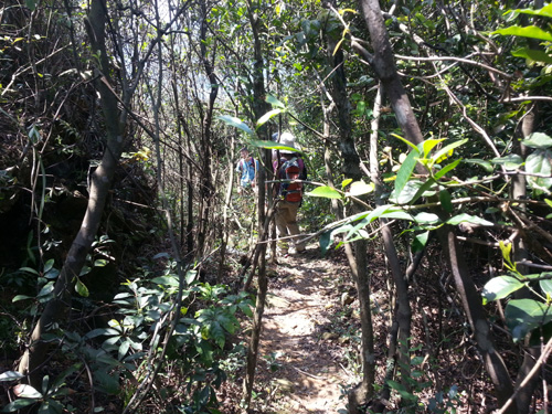 Snapshot of the path.
 Viewing down Lin Ma Hang village.
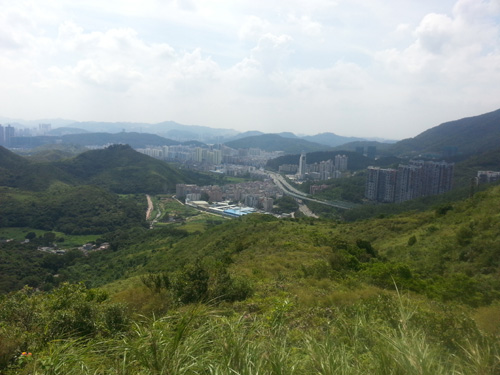 Shenzhen's building.
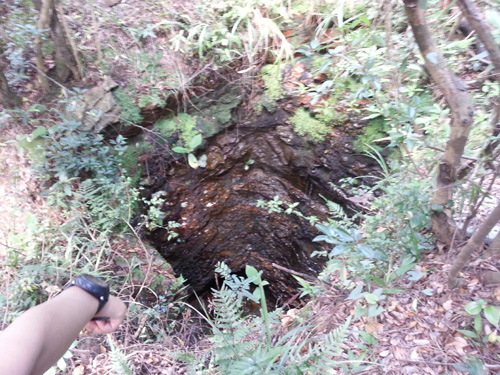 A well like structure outside Lin Ma Hang cave. Features relating to the mine cave.
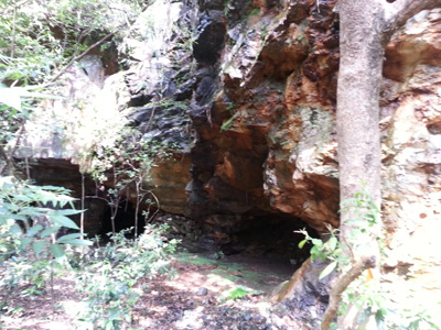
 Another feature outside cave.
|
|
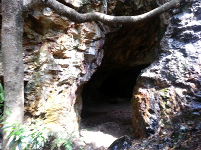
Inside the cave !!!


