
Sponsors: ♦ Wu Style Taichi (吳家太極拳) ♦
About us
HK intro
Easy Walk
River
Hiking
Coastine
Caving
Overseas
Gallery
Join us
Hiking tips
Other sites
Publicity
Contact us
Outdoor Doctor
FaceBook Group
Order FREE HK Travel Brochure!
Visitors
since April 2000
Kwai Tau Leng (龜頭嶺)
Difficulty:

Last Visit: 27 Dec 2011
New Territories North
Trip DescriptionThis is an interesting route. The profile of the route does not look difficult however part of the route is not shown up in regular country side map. It takes some exploration spirit to attempt this route. Although this route is not technically difficult, its entrance is deeply covered by bushes. |
Location 1: Altitude 30M
|
Location 2: Altitude 120M
|
Location 3: Altitude 75M
|
Location 4: Altitude 380M
|
Location 5: Altitude 475M
|


|
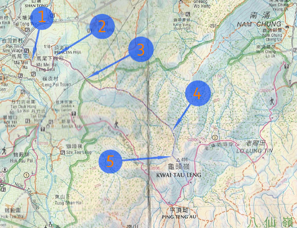
 This picture was taken in a the car park in Ma Mei Ha Village. Follow the stairs. Becareful, there are unfettered dogs in the village. Following the path, you will see the footpath leading to two urn area. Don't turn left, walk straight. You will see a row of urn. We cut through some bush behind the right most urn in order to get to start the journey.
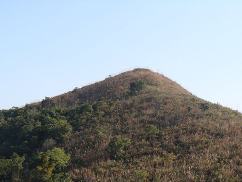
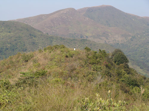 This is Priceness Hill (公主山). It is just small hill seldom visited by hikers. So, you can hardly see a clear route leading to the triangulation station (that concrete pillar). We did not actually reach this triangulation station, we just passed by.
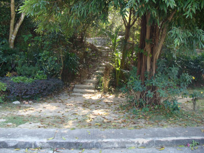
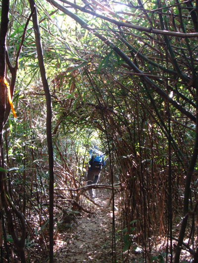 Walking in a bamboo forest.
 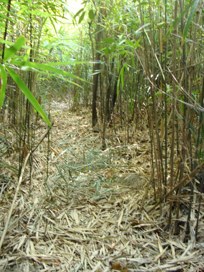 Here is another bamboo forest. Although this portion of trail is not indicated on the country side map, the trail is actually very clear under the shade of bamboo.
 Finally we reached Kwai Tau Leng (龜頭嶺). From there, we walked down a steep trail back to the Nam Chung Country Trail (南涌郊遊徑) where you can leave on either directions.