Sponsors: ♦ Wu Style Taichi (吳家太極拳) ♦
About us
HK intro
Easy Walk
River
Hiking
Coastine
Caving
Overseas
Gallery
Join us
Hiking tips
Other sites
Publicity
Contact us
Outdoor Doctor
FaceBook Group
Order FREE HK Travel Brochure!
Visitors
since April 2000
Ko Lau Wan to Chekkeng (高流灣 至 赤徑)
Difficulty:

Last Visit: 16 Nov 2008
NT East
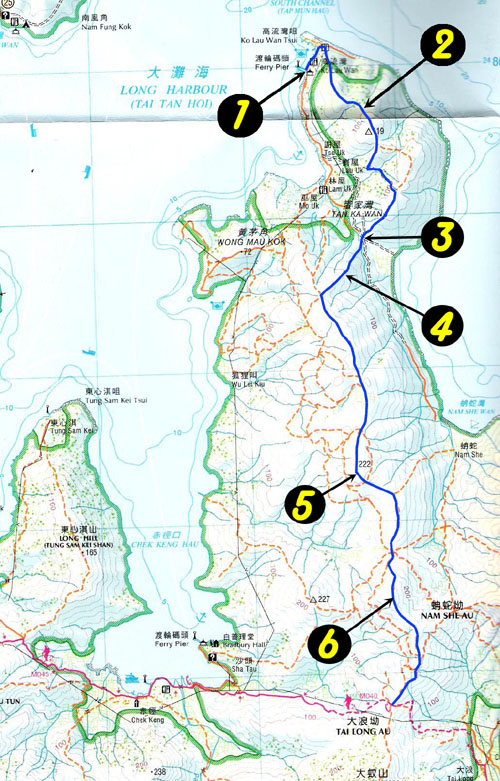
Trip DescriptionThe trip starts from Ko Lau Wan (高流灣) to Chekkeng (赤徑) of Maclehose trail. Ko Lau Wan is a small village which can be reached by local ferry. There is no high mountain on the way, the foot path is a bit narrow and brushy. In good weather, a nice blend of sky, cloud, ocean, mountains and islands form an exquisite picture. |
Location 1: Altitude 0M
|
Location 2: Altitude 70M
|
Location 3: Altitude 45M
|
Location 4: Altitude 105M
|
Location 5: Altitude 210M
|
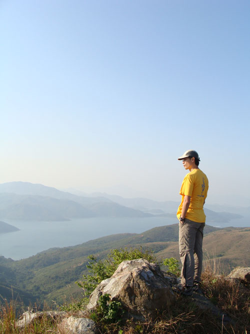
Location 6: Altitude 270MThis is the highest point of this trip. You can enjoy 360° view after some hardship of getting here. Feel like at the top of the world. |


|
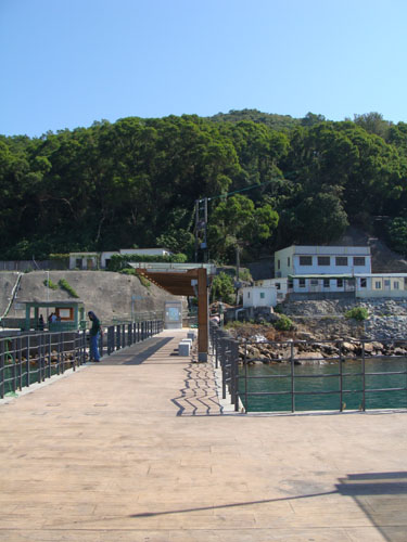 This is, Ko Lau Wan pier (高流灣碼頭),our starting point. We took a ferry from Wong Sek Pier (黃石碼頭) to get to here.
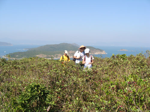 The brush is quite dense but not tall. The Island behind is Grass Island(塔門).
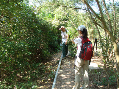 Here may look a little bit confusing. Don't follow the water pipes. The correct path roughly intersects the water pipes at right angle.
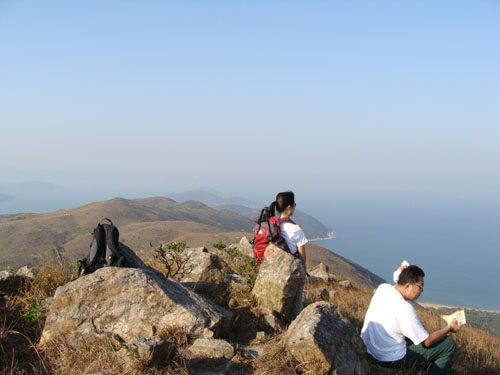
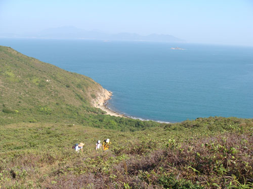 As you moved along the brush, don't forget to check out the open ocean, it is just superb.
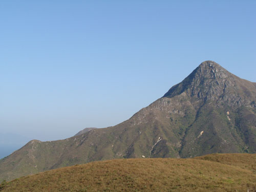 This is Nam She Tsim (南蛇尖).