Sponsors: ♦ Wu Style Taichi (吳家太極拳) ♦
About us
HK intro
Easy Walk
River
Hiking
Coastine
Caving
Overseas
Gallery
Join us
Hiking tips
Other sites
Publicity
Contact us
Outdoor Doctor
FaceBook Group
Order FREE HK Travel Brochure!
Visitors
since April 2000
Ki Lun Shan (麒麟山), Tai Lo Tian (大羅天), Kai Kung Leng(雞公嶺)
Difficulty: NA
Last Visit: 23 March 2008
NT North
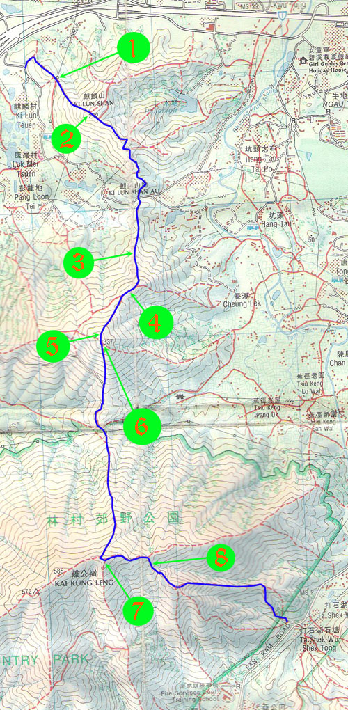
Trip DescriptionThis route consists of Ki Lun Shan (麒麟山), Tai Lo Tian (大羅天), Kai Kung Leng(雞公嶺) in northern part fo New Terrritories. The route is not dangerous at all, but it will definitely take you some energy. In Tai Lo Tian area, you will found some relic of trench constructions left by British army. In Kai Kung Leng area, you will find a mountain bikers and paragliders. | ||
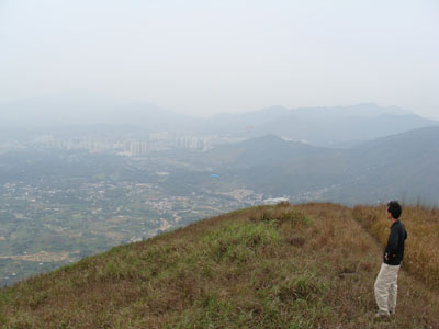
Location 1: Altitude 60M
| ||
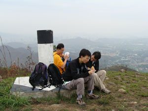
Location 2: Altitude 222MThese three guys are now on the top of Ki Lun Shan (麒麟山), the nearer mountain is called Dai Lo Tian whose name is typically not indicated on map.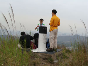 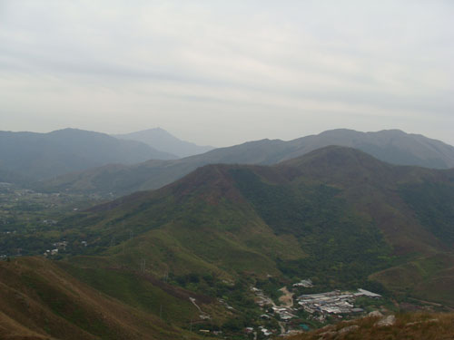 | ||
Location 3: Altitude 135M
| ||
Location 4: Altitude 245M
| ||
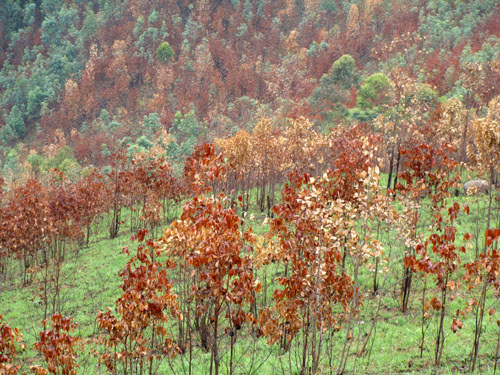
Location 5: Altitude 325MWe found another trench construction. There is a nearby small mountain which nourish some beautiful trees.
| ||
Location 6: Altitude 337M
| ||
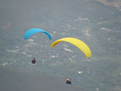
Location 7: Altitude 550M
There are a number of paragliders flying around Kai Kung Leng(雞公嶺). | ||
Location 8: Altitude 430MWe are now scaling down the southern slope of Kai Kung Leng to get back to Fan Kam Road. The slope is rather steep. Take care of your knees. | ||


|
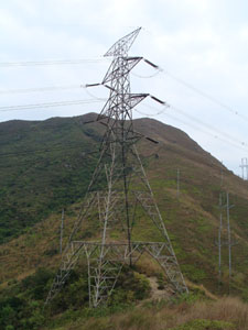 The entrance of is not too obvious, it lies behind some tombs. The mountain behind the tower is Ki Lun Shan (麒麟山).
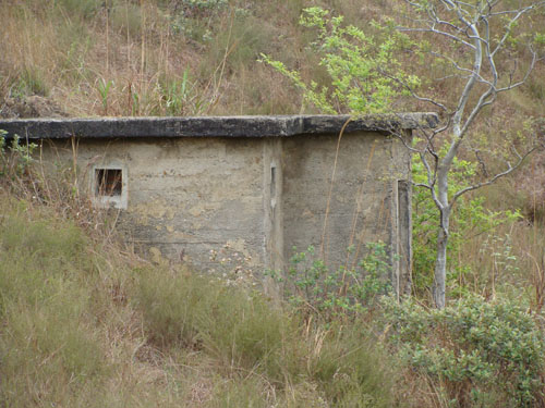 An abandoned hut which was probably used as guard post half a century ago.
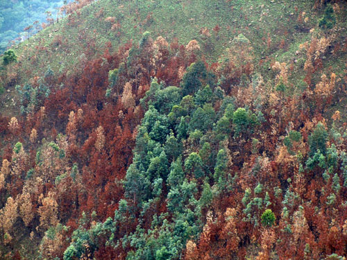
 This is little Tai Lo Tian (大羅天) which is also called 小羅天.
 This is the top of Tai Lo Tian (大羅天).