
Sponsors: ♦ Wu Style Taichi (吳家太極拳) ♦
About us
HK intro
Easy Walk
River
Hiking
Coastine
Caving
Overseas
Gallery
Join us
Hiking tips
Other sites
Publicity
Contact us
Outdoor Doctor
FaceBook Group
Order FREE HK Travel Brochure!
Visitors
since April 2000
Hung Shui Hung to Jiu Jing Shan (洪水坑 上 九徑山)
Difficulty:

Last Visit: 2 Apr 2017
NT West
Trip Description
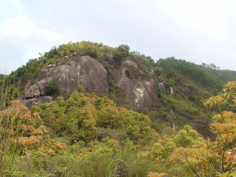
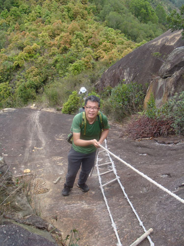
This route is quite interesting. It has steep "cliff", big funny rocks, great views and sandy slopes. It is quite challenging for hiking beginners. For some others, it is a fun trip. There is almost no shelter along the way, the fierce Sun can be very punishing in hot summer time.
| ||||
Location 1: Altitude 80M
| ||||
Location 2: Altitude 10M
| ||||
Location 3: Altitude 220M
| ||||
Location 4: Altitude 250M
| ||||
Location 5: Altitude 330M
| ||||
Location 6: Altitude 275M
| ||||


|
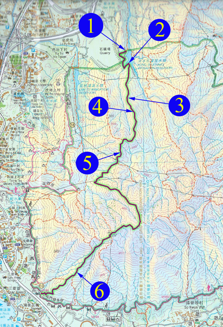
 This is Hung Shui Hang Irrigation Reservoir (洪水坑灌溉水塘). We start here today.
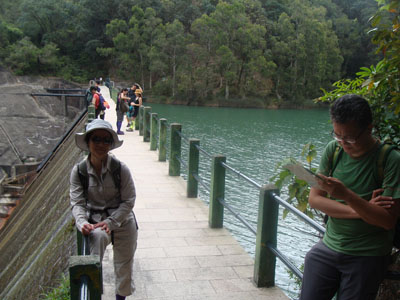
 We follow the concrete path on the right of the reservoir. Very soon, we found a muddy uphill hiking path like this one.
This is the entrance.
We follow the concrete path on the right of the reservoir. Very soon, we found a muddy uphill hiking path like this one.
This is the entrance.
 After descending a sandy slope, we found a wall-like constructions, part of it has collapsed long time ago. That little piece of ruin is the only remain. I kept wondering what would the original construction look like.
 Now we are descending to Tuen Mum (屯門) to conclude the hike.