
Sponsors: ♦ Wu Style Taichi (吳家太極拳) ♦
About us
HK intro
Easy Walk
River
Hiking
Coastine
Caving
Overseas
Gallery
Join us
Hiking tips
Other sites
Publicity
Contact us
Outdoor Doctor
FaceBook Group
Order FREE HK Travel Brochure!
Visitors
since April 2000
HaChe (下輋) -> KaiKung Shan (雞公嶺) -> NgauTamMei (牛潭尾)
Difficulty:

Last Visit: 22 Oct 2017
NT West
Trip DescriptionThis is another ridge hike of Kai Kung Leng (雞公嶺). There are only a few ribbons along this route. As usual Kai Kung Leng (雞公嶺) ridges promise very good and pleasant views. |
Location 1: Altitude 62M
|
Location 2: Altitude 115M
|
Location 3: Altitude 239M
|
Location 4: Altitude 525M
|
Location 5: Altitude 145M
|


|
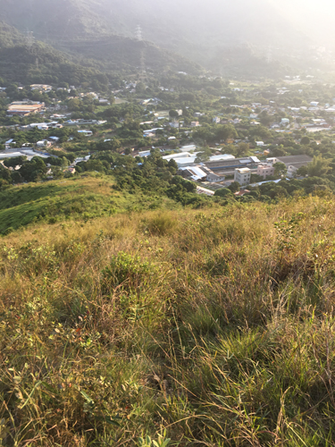
 After wandering in confusing village streets for a while, we finally found the right track to move on.
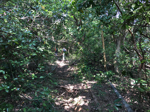
 The track become very unclear here. The sandy narrow track was covered by overgrown. It took us sometimes to figure out the right way.
 We found a nice shade for lunch here.
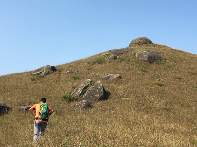 Could you see a hemispherical rock on the hill top?
 We took this downhill slope to NgauTamMei (牛潭尾). This junction is not very obvious. You have to be very observant in order not to miss this turn.