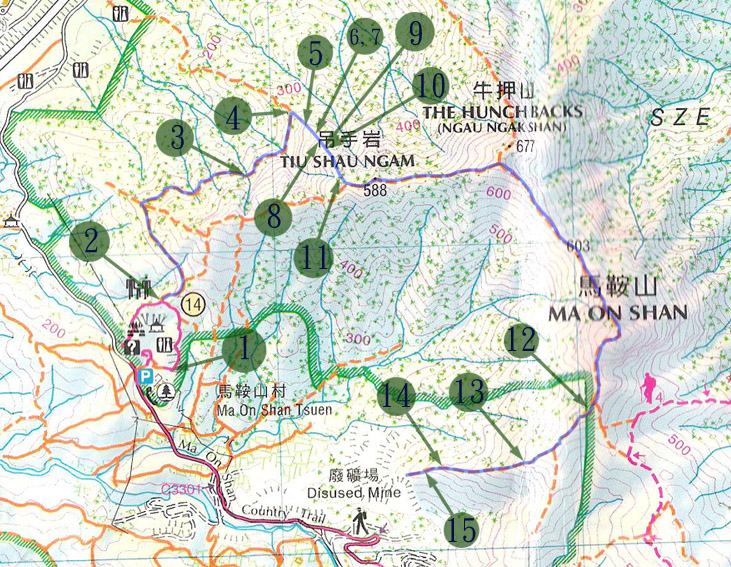
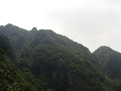
This route is embedded in a big valley system called The Valley of Goose (雁谷) near Ma On Shan. The route is not shown in government pubished map. It is however, it is not a faint footpath at all. Many hiking veterans have "created" this path by tying ribbons and ropes. There are a number of different hiking/climbing options in The Valley of Goose (雁谷). Nevertheless, none of them is for the inexperienced. The one we attempted this time is dubbed Golden Wall (黃金壁). It is steep, short, exciting and fun.
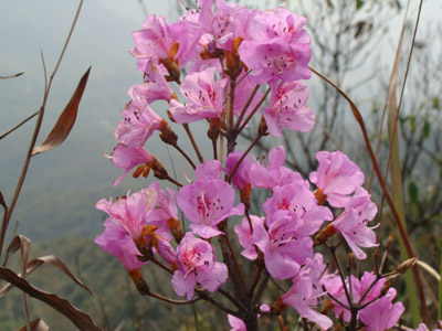
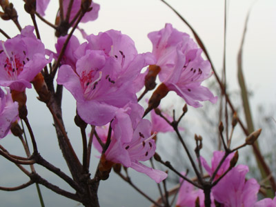
Apr and May are the blossom time of cuckon (杜鵑) in Ma On Shan area. Many people visit Ma On Shan cuckon in spring time.
Location 1: Altitude 245M
We started from the BBQ site in Ma On Shan Country Park.
Location 2: Altitude 290M
We took the uphill footpath next to a pavilion.
Location 3: Altitude 355M
The path is now blocked by the deep groove. We have to detour on the right to get to the opposite side of the groove.
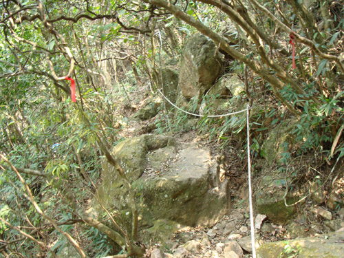
A roped corridor.
Location 4: Altitude 365M
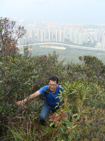
We finally reached the entrance of the Golden Wall path. It is well decorated with colour ribbons as if it was theme park.
Location 5: Altitude 400M
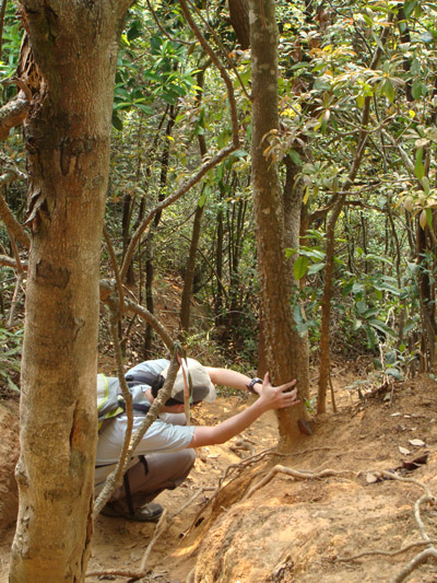
Things are getting tough. Those ropes are really handy and help.
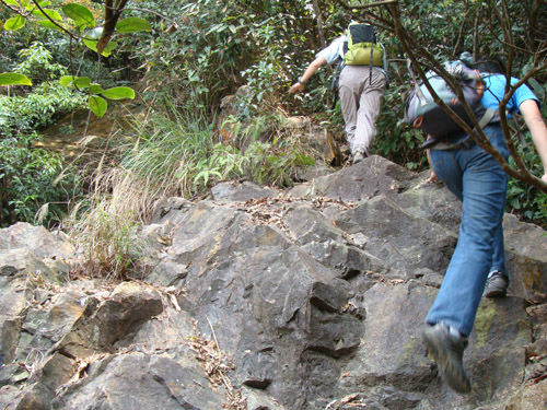
Location 6: Altitude 435M
A lot to climb. We soon come to the heel of a very big rock, don't even try to overcome it, take the route on your right.
Location 7: Altitude 435M
The are two ropes hanging down from this rock wall. Simon is using the right one.
Ronald is using the left one which seems easier.
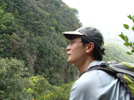
What are you looking at?
Location 8: Altitude 450M
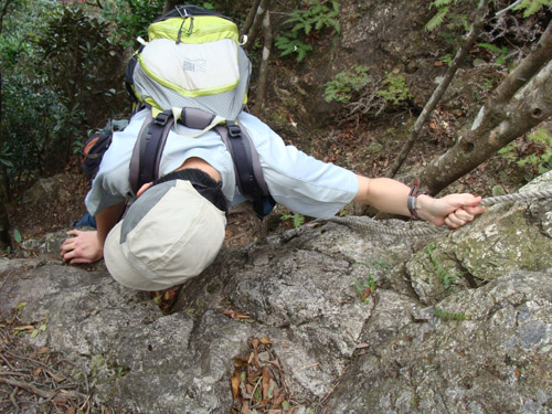
This wall is probably the most challenging one in this route.
Another funny climb captured in video.
Location 9: Altitude 485M
Climb, endless climb.
Location 10: Altitude 490M
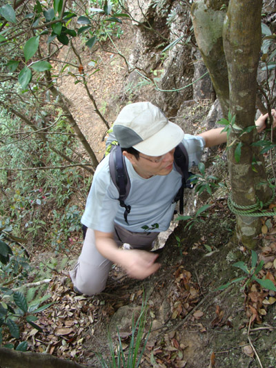
What are you looking at?
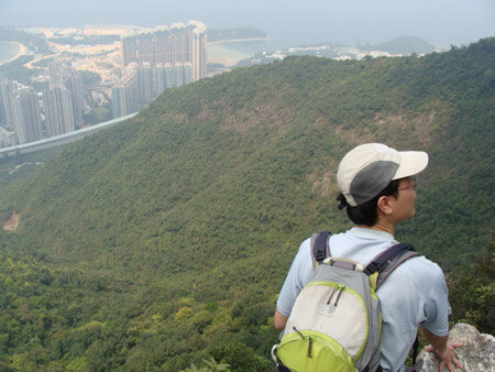
Location 11: Altitude 565M
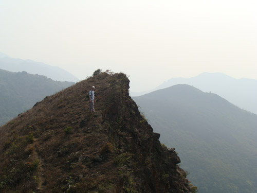
We are getting close to the ridge.
Location 12: Altitude 645M
We are going decent along Mine Ridge (礦場脊) which leads to a abandon mine field below. There is some sort of reflector installed in the starting point of this ridge. What's that for?
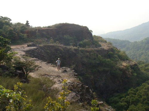
Location 13: Altitude 500M
Our model is now standing next to a hill half of which was "hacked-off" by miners decades ago.
Location 14: Altitude 400M
Moving down a very sandy steepy slope. Becareful.
Location 15: Altitude 380M
We finally arrived at the mine. Just follow the main path to go back to civilization.


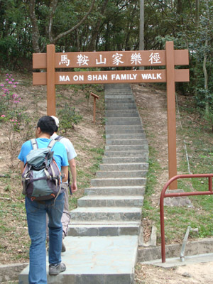 We started from the BBQ site in Ma On Shan Country Park.
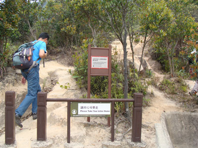 We took the uphill footpath next to a pavilion.
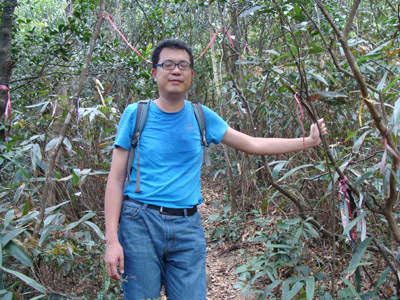 We finally reached the entrance of the Golden Wall path. It is well decorated with colour ribbons as if it was theme park.
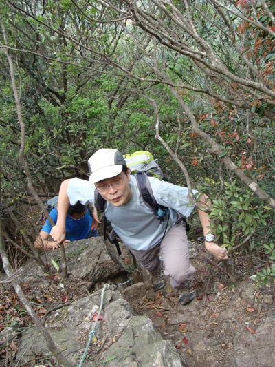 A lot to climb. We soon come to the heel of a very big rock, don't even try to overcome it, take the route on your right.
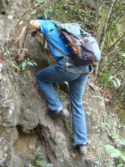
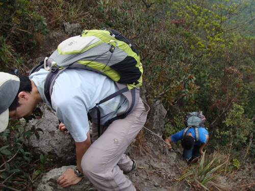 Climb, endless climb.
 What are you looking at?
 We are getting close to the ridge.
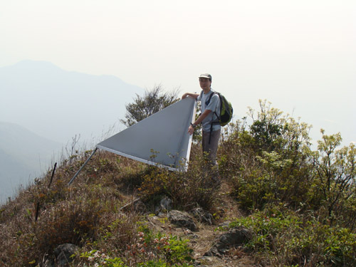 We are going decent along Mine Ridge (礦場脊) which leads to a abandon mine field below. There is some sort of reflector installed in the starting point of this ridge. What's that for?
 Our model is now standing next to a hill half of which was "hacked-off" by miners decades ago.
 Moving down a very sandy steepy slope. Becareful.
 We finally arrived at the mine. Just follow the main path to go back to civilization.