
Sponsors: ♦ Wu Style Taichi (吳家太極拳) ♦
About us
HK intro
Easy Walk
River
Hiking
Coastine
Caving
Overseas
Gallery
Join us
Hiking tips
Other sites
Publicity
Contact us
Outdoor Doctor
FaceBook Group
Order FREE HK Travel Brochure!
Visitors
since April 2000
Tai She Teng, Pak A Teng, Tai She Wan (大蛇頂,北ㄚ頂,大蛇灣)
Difficulty:

Last Visit: 7 Dec 2008
NT East
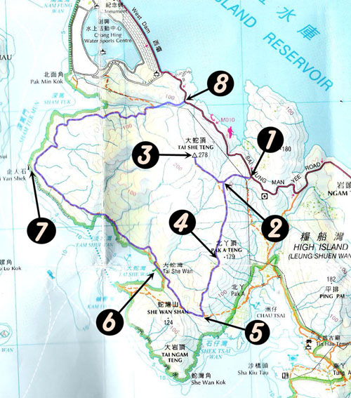
Trip DescriptionTai She Teng (大蛇頂) is located is the South West side of Highland Reservior, between the West Dam and the East Dam. It is not a very high peak, but it is ready the highest in its vicinity. Thus it gives quite a good view for the Highland area. It is however, the path is rather brushy, it does not look like any main-trial. | ||
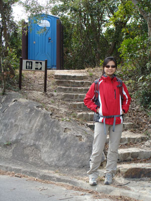
Location 1: Altitude 120M
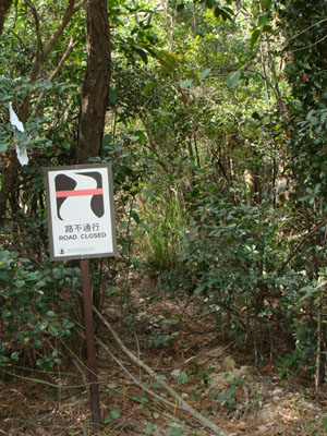
THis is the starting point, right next to the make-shit toilet. The entrance is marked by a "Road Closed" sign. Ironically, it is the entrance of the trip. | ||
Location 2: Altitude 210M
| ||
Location 3: Altitude 280M
| ||
Location 4: Altitude 180M
| ||
Location 5: Altitude 80M
| ||
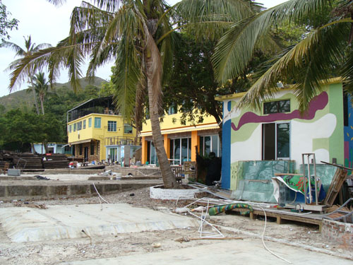
Location 6: Altitude 0MAmazingly, we found a seemingly abandoned facility of restaurants, playground and accommodcation. THose facilities are still under some sort of ownership but obviously they not operating at all. To leave this site, you have move the other end of the facility and follow some stairs to a faint path. | ||
Location 7: Altitude 25M
| ||
Location 8: Altitude 80M
| ||


|
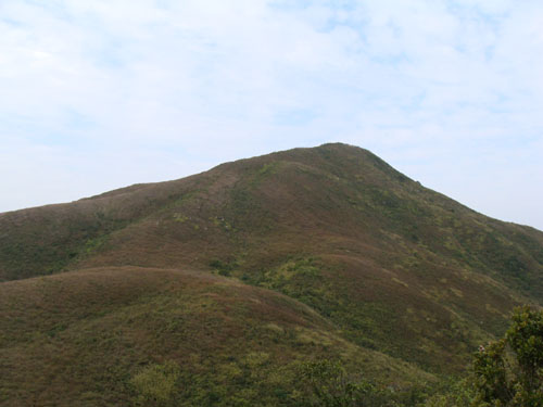 This is Tai She Teng (大蛇頂). Not a very handsome peak.
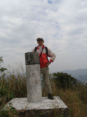 This is the top of Tai She Teng (大蛇頂). After some slight enjoyment, we came down on the original path back to Location 2 and moved south to Pak A Teng (北ㄚ頂) along the ridge. There is a small footpath on the map at about 170M that lead to Pak A Teng. That path does not practically exist in my last visit.
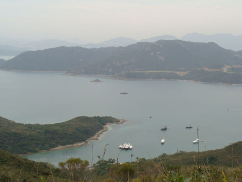 This is Tai She Wan (大蛇灣) viewed from Tai She Teng (大蛇頂).
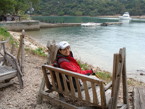
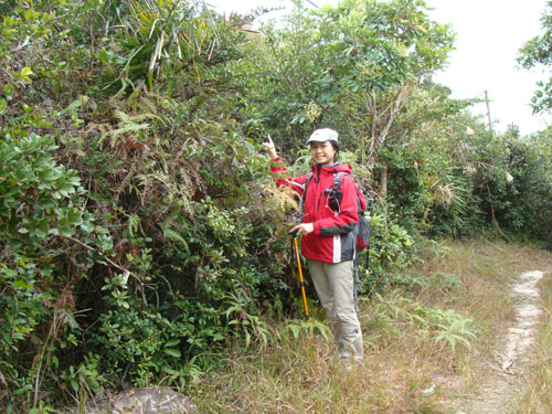 Now we have descended from Tai She Teng and reached a major footpath. She is point to the brush where we emerged from.
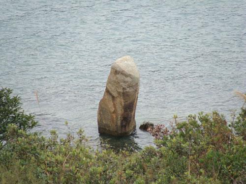 We walked along the path above the coastline and meet Ki Yan (Standing Man) Shek (企人石) standing at the shore.
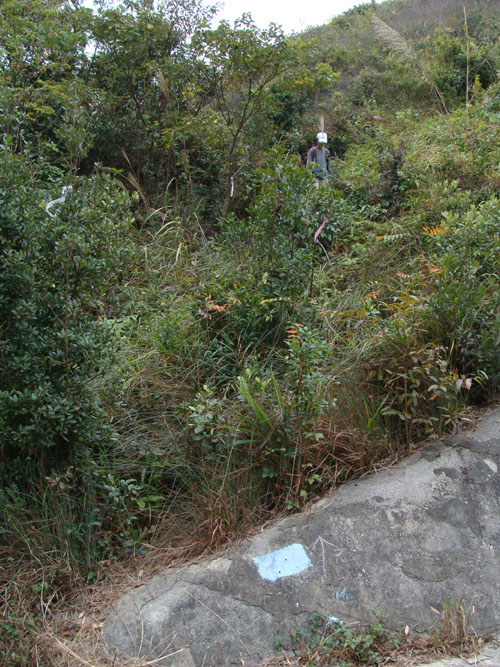 According to the map the footpath should eventually bring us to Chong Hing Water Sport Centre, however, the indicated footpath seems to have deeply buried by brush. So we followed the ribbon signs to leave. This picture shows where we joined the main road.