
Sponsors: ♦ Wu Style Taichi (吳家太極拳) ♦
About us
HK intro
Easy Walk
River
Hiking
Coastine
Caving
Overseas
Gallery
Join us
Hiking tips
Other sites
Publicity
Contact us
Outdoor Doctor
FaceBook Group
Order FREE HK Travel Brochure!
Visitors
since April 2000
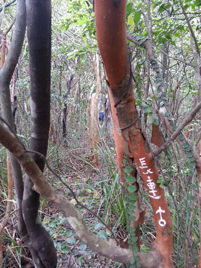
Cheung Lin Shan (長蓮山)
Difficulty:

Last Visit: 5 May 2013
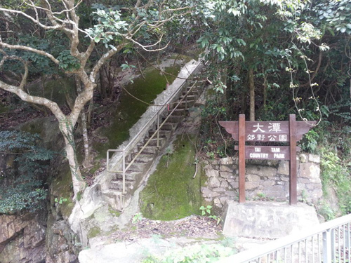
Hong Kong Island
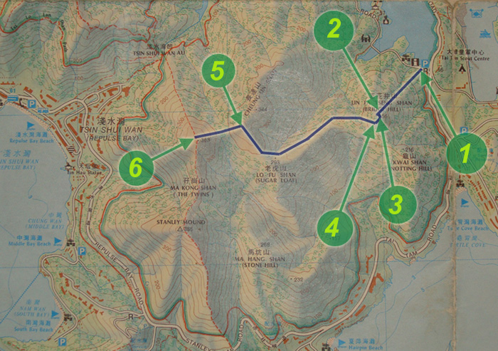
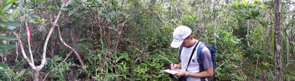
Trip DescriptionThis route is not shown in the government published map. Thanks for many hiking veterans who have created this path. This route is quite hidden in the bush. It is however, the route is not too difficult to follow. It is quite unexpected Hong Kong Island got such an interesting path. Again, if you are not used to hiking in dense vegetation, don' try this route. | ||||||
Location 1: Altitude 40M
| ||||||
Location 2: Altitude 230M
| ||||||
Location 3: Altitude 256M
| ||||||
Location 4: Altitude 240M
| ||||||
Location 5: Altitude 345M
| ||||||
Location 6: Altitude 360M
| ||||||


|
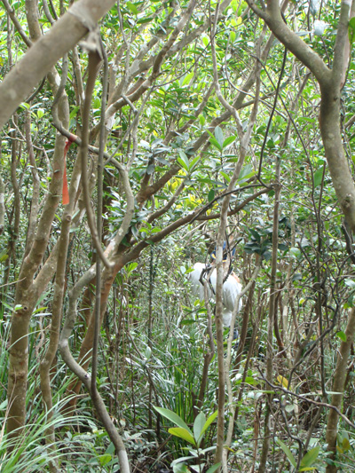 We are now walking along a wandering path inside a forrest .
 Unlike a typical hill top, the top of Lin Fa Tseng Shan (Bridge Hill, 蓮花井山) is populated with trees. We cannot get a very good telescopic view of the surrending countryside.
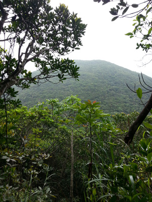 There is a valley lying in front of us. We have to go down the valley and climb up again. The hill top in the picture is the exit of this path. The path going downhill is quite slippery, be careful.
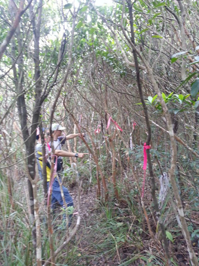
 Now, we join back the main hiking trail. You can leave the trail on either left or right.