Trip Description
This stream locates near residential area. It is easily accessible. It comprises of many shallow pools and short waterfalls. The stream is quite narrow. If you don't want to walk in the water, you will have a hard time in moving along.
|
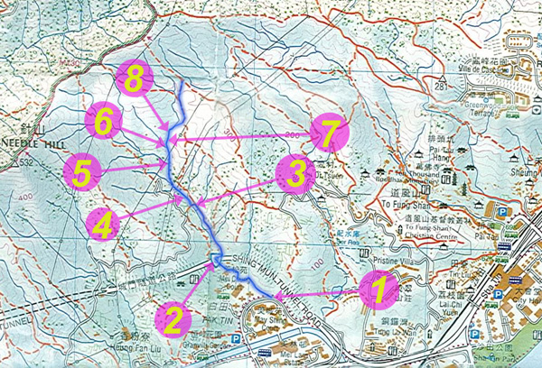
Location 1: Altitude 15M
 The entrance is near Pak Tin (白田村). This sign marks the starting point of this journey. By following the sign, you will soon come a temple. Although you may find some ribbons leading you to go inside the temple area, you don't have to. You can just follow the concrete path outside the temple.
|
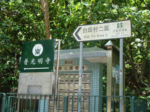
Location 2: Altitude 50M
 You will soon encounter a bridge under Route 9.
And then follow a footpath which is on the right the stream. The lower stream is running in a squatter area which is not ideal for getting into stream.
|
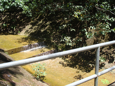
Location 3: Altitude 105M
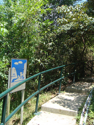 |
<<< This path lead you to the stream.
|
>>> We start our stream trekking here.
|  |
|
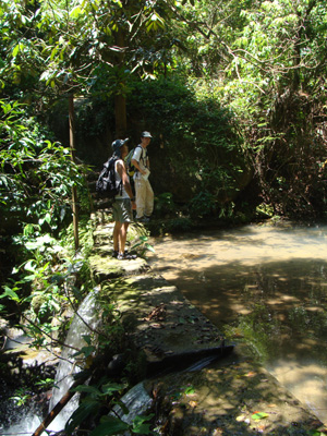
Location 4: Altitude 125M
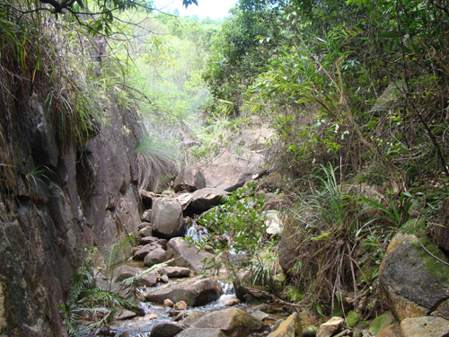
 There are many small and shallow pools like that one. The stream is quite narrow, let alone the river bank. Therefore your journey will be easier if you prepare to get your feet wet. For dry hikers like myself, this stream is quite demanding.
|
Location 5: Altitude 160M
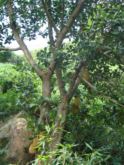 Artocarpus Heterophyllus (大樹波蘿)
|
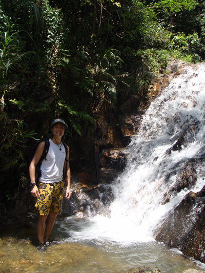
Location 6: Altitude 185M
 |
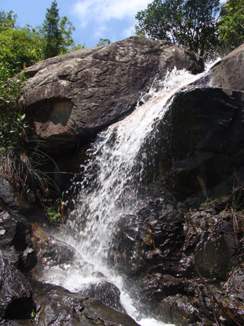
The fall is about 5M tall. When you meet this, you can back off a bit and use the footpath on the right. Ben actually climb on the side the of the fall, that's doable but that is really slippery.
|
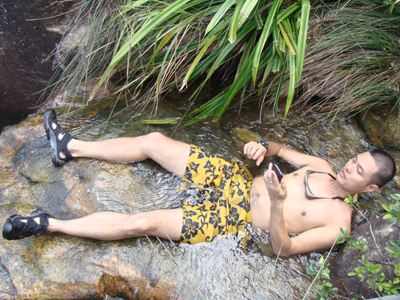
We deserve a dip after overcoming this fall.
|  |
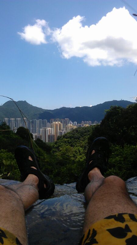
What a magnificent view from his angle!
|  |
|
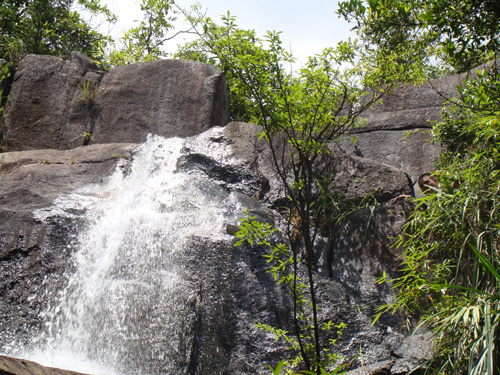
Location 7: Altitude 205M
 Another waterfall.
|
Location 8: Altitude 225M
 A narrow corridor. After that the stream open up a bit for sunshine. We are supposed to leave the stream when the stream cut across the path at around 290M but we somehow follow the ribbons and leave the stream at around 230M. Maybe we really left too early, we have to dash through some fettering bushes before we find the main path. You can either exit via Needle Hill or hike down along the faint footpath to Pak Tin (白田).
|


|